As more young adults move to Denver and the cost of housing skyrockets, some city neighborhoods are seeing drops in the percentages of people of color and children.
Those changes affect Denver Public Schools, which has been the fastest-growing urban school district in the country. But that growth is slowing. Birth rates are down and many of the new transplants responsible for Denver’s population boom don’t have kids.
In addition, rising housing prices are pushing families out of some neighborhoods. A recent report by the Colorado Children’s Campaign found that the 92,000-student district is more racially segregated now than it was ten years ago. (DPS Superintendent Tom Boasberg has said he doesn’t necessarily agree with that claim.)
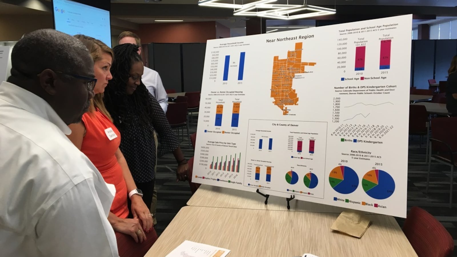
A new committee created by the Denver school board got a closer look this week at population changes and demographic shifts in Denver’s 78 neighborhoods.
The Strengthening Neighborhoods Initiative committee is set to spend the next six months studying how gentrification is impacting schools. The 42 members are tasked with suggesting ways to increase racial and economic integration in DPS schools and address the declining number of school-aged children in certain parts of the city.
The data provided to the committee at its second-ever meeting Monday night includes a lot of numbers, and you can see them in full at the bottom of this story. But we’ve pulled out some highlights.
Five neighborhoods where the number of students who attend a DPS school declined from 2010 to 2015.
1. Highland in northwest Denver, down 21 percent.
2. Marston in southwest Denver, down 14 percent.
3. Lincoln Park in west Denver, down 13 percent.
4. Jefferson Park in northwest Denver, down 12 percent.
5. Sunnyside in northwest Denver, down 6 percent. Bear Valley in southwest Denver and Clayton in central Denver also saw 6 percent decreases.
Five neighborhoods that saw big demographic shifts from 2010 to 2015.
1. Northeast Park Hill in near northeast Denver, where the percentage of black residents shrunk from 55 to 42 percent and the percentage of white residents grew from 11 to 20 percent.
2. Baker in northwest Denver, where half the residents in 2010 were Hispanic. By 2015, white residents were the majority: 56 percent compared 34 percent who were Hispanic.
3. Whittier in central Denver, where 40 percent of residents in 2010 were black and 38 percent were white. In 2015, 24 percent of residents were black and 50 percent were white.
3. Globeville in central Denver, which saw its Hispanic population decrease from 80 percent to 61 percent and its white population increase from 15 to 33 percent.
5. A few neighborhoods saw increases in the percentage of residents of color and decreases in the percentage of white residents, though white residents remained the majority. They include Hampden in southeast Denver and Washington Virginia Vale in near northeast Denver.
Five neighborhoods that saw big changes in the percentage of families living in poverty from 2010 to 2015.
1. Baker in northwest Denver, where the percentage of families living in poverty fell from 47 percent in 2010 to 17 percent in 2015, which is the citywide poverty rate.
2. Jefferson Park in northwest Denver, where the percentage fell from 48 to 24 percent.
3. Lincoln Park in northwest Denver, where the percentage fell from 47 to 26 percent.
4. West Colfax in northwest Denver, which saw the sharpest increase from 20 to 35 percent.
5. College View in southwest Denver, which saw an increase from 29 to 38 percent.
The data shows that many of Denver’s neighborhoods are racially segregated. Here are the neighborhoods where 80 percent or more of residents in 2015 were of one ethnicity.
Westwood in southwest Denver, 80 percent Hispanic
Elyria Swansea in central Denver, 83 percent Hispanic
West Highland in northwest Denver, 80 percent white
Civic Center in northwest Denver, 82 percent white
City Park in central Denver, 81 percent white
Congress Park in central Denver, 82 percent white
Cherry Creek in central Denver, 87 percent white
Speer in southeast Denver, 86 percent white
Washington Park West in southeast Denver, 85 percent white
Washington Park in southeast Denver, 90 percent white
Belcaro in southeast Denver, 93 percent white
Cory-Merrill in southeast Denver, 86 percent white
Platt Park in southeast Denver, 89 percent white
University Park in southeast Denver, 84 percent white
Wellshire in southeast Denver, 92 percent white
Southmoor Park in southeast Denver, 87 percent white
Hilltop in near northeast Denver, 90 percent white
There were no neighborhoods where 80 percent or more of residents were black.
The committee is set to meet next in August to discuss DPS’s existing integration policies.
Chalkbeat intern Marissa Page contributed information to this report.

